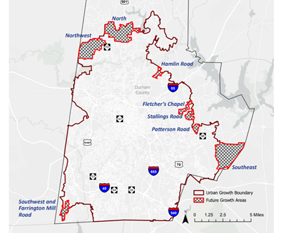
There is a developer requesting an annexation and zoning change for a 190-acre set of parcels on Mt. Moriah Road between the circle on Erwin and New Hope Commons. (See map at end). It has critical riparian buffers in the New Hope Creek Watershed.
• Durham City Council Meeting (Plan to attend in person)
• Feb 3rd, 7pm at 101 City Hall Plaza
• Councilmembers Cook and Freeman have excused absences from the Feb 3 hearing
• Take 1 minute to read and sign the 2 petitions
• Take another few minutes to SHARE with friends, family and neighbors requesting their signatures!
Summary
The developer is asking for an extension of the Urban Growth (UGB). The UGB promotes the goals of density and infill, reduced infrastructure cost, and enhanced transit access. This development is the first one that demands an extension of the UGB. You probably have heard of the broken window syndrome. An abandoned building may go unscathed, until the first window is broken. Then the remaining windows quickly fall to the same fate. The first development that punches through the Urban Growth Boundary is like the first broken window. Others will soon follow.

p>
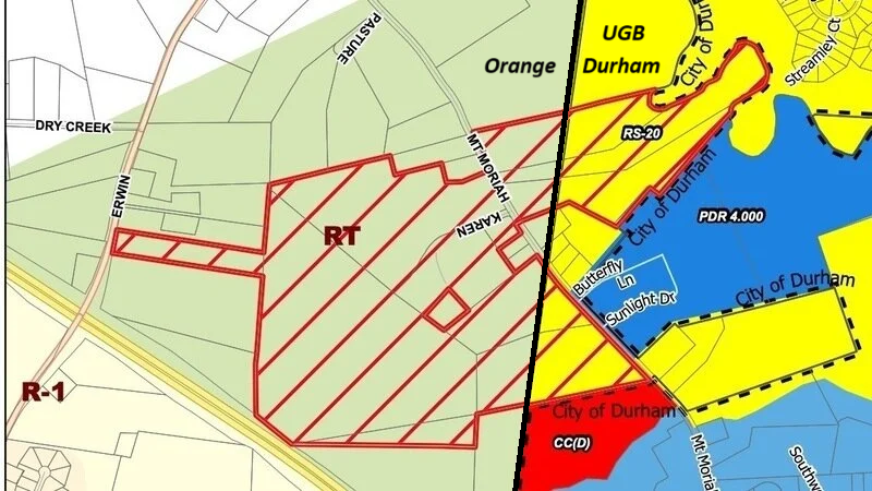
The portion in Orange County is currently in the Chapel Hill Rural Transition zoning, which helps maintain the rural atmosphere. The Durham part of the development is currently Residential-Suburban-20 (Durham) The developer is asking to change both Durham and Orange County Parcels to Planned Development Residential 7.348, which allows for much more density. A change like this so close by could impact Arrowhead’s status.
The Planning Commission on December 10th voted 6-2 to not approve the development. The video is here. A transcript is here.
All the development documents filed with Durham are here.
A transcript of the third neighborhood meeting is here
The developer M/I Homes has an ESG report which says it is committed to the environment. Here is an excerpt.
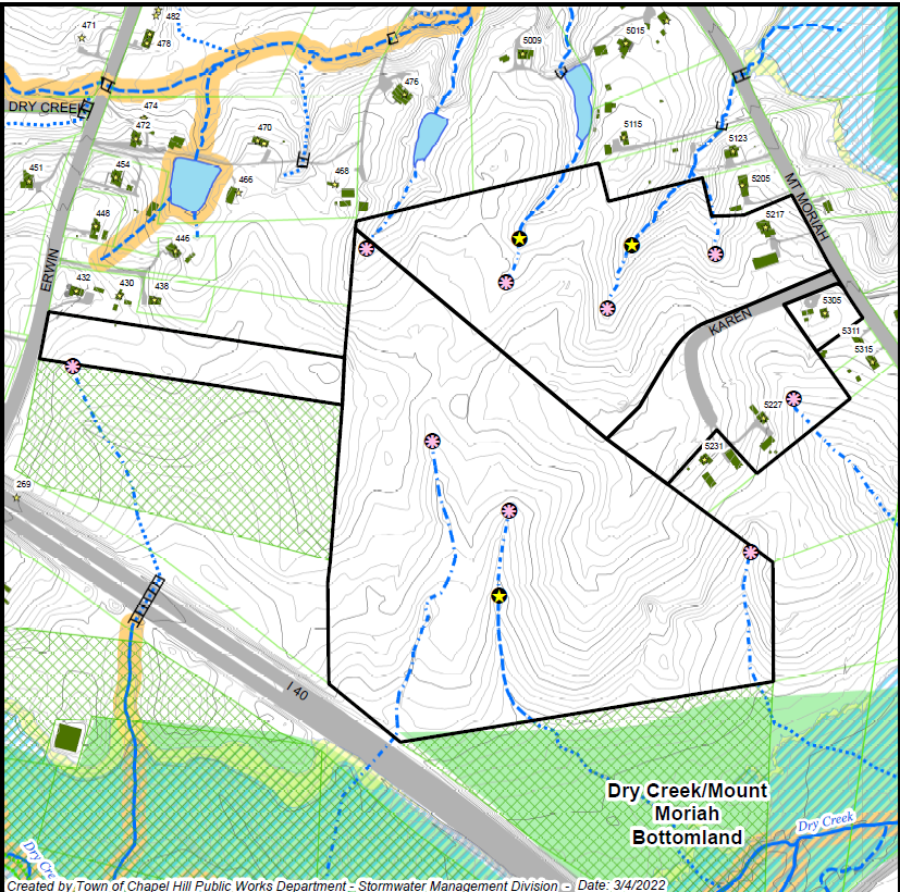
Chapel Hill identified streams in the area. They are shown in this map: The stream identification report is here: The developer appealed the stream determination. The results of that appeal are here. Note that this map only includes the parcels in Orange County. A field map showing more detail is here.
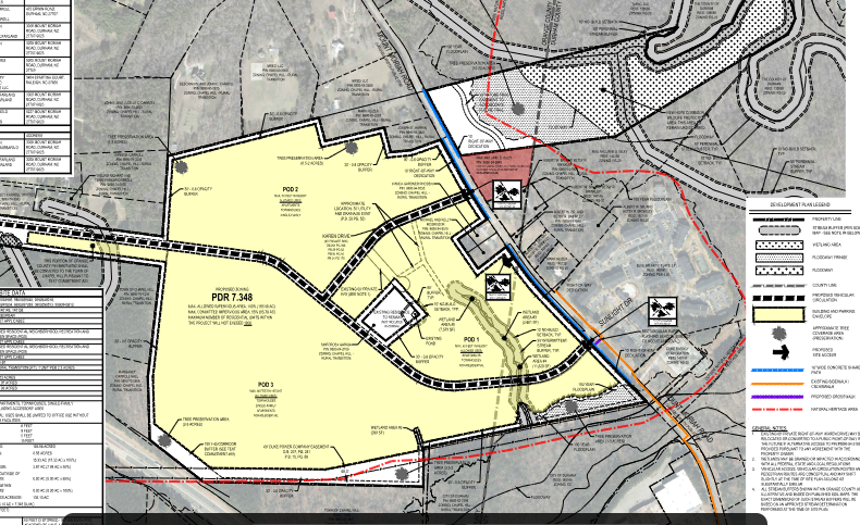
The development plan only shows one stream: The full development plan is here.
Environment:
The Triangle Connectivity Collaborative has a report on the development here. Here is a map extracted from that report:
Legal:
Because the development is mostly in Orange County and it is zoned as Chapel Hill Extra Territorial Jurisdiction, the Town of Chapel Hill must approve the annexation. Annexations of Chapel Hill and Durham are subject to a consent decree in 1986 and a modified consent decree in 1994 . In April, Chapel Hill approved the annexation of the area that is proposed for development. In October, the City of Durham suspended its rules during a work session and approved the agreement with Chapel Hill. The steps to complete the annexation are here.
Affordable Housing:
The affordable housing goals have been reduced from 75 to 80 (as stated to the city) to hopefully 50 (as stated in the neighborhood meeting).
Maps:
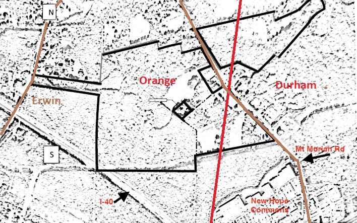
Developer's Map, The current development plan is here
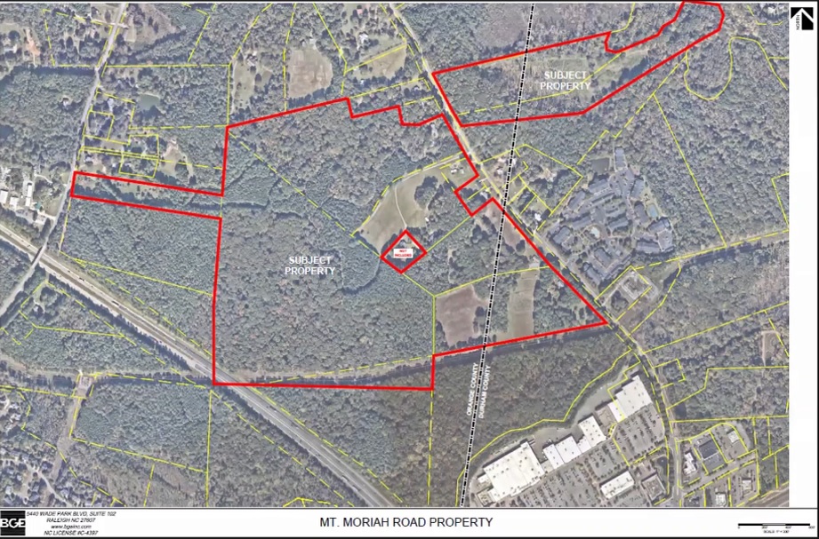
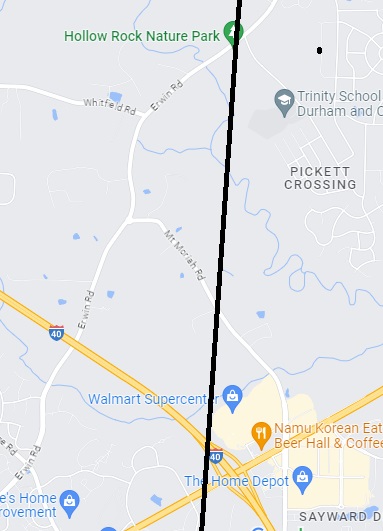
Context (google map)
Critical Reparian Buffers
The development includes critical riparian buffers (shown in yellow):

Current Zoning
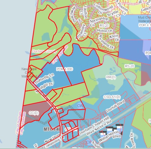
Chapel Hill Zoning. The zoning in the area bounded by I40, Erwin, and Mt. Moriah is controlled by Chapel Hill, not Orange County. It is an Extra-Territorial Jurisdiction.

Aerial Images
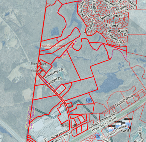
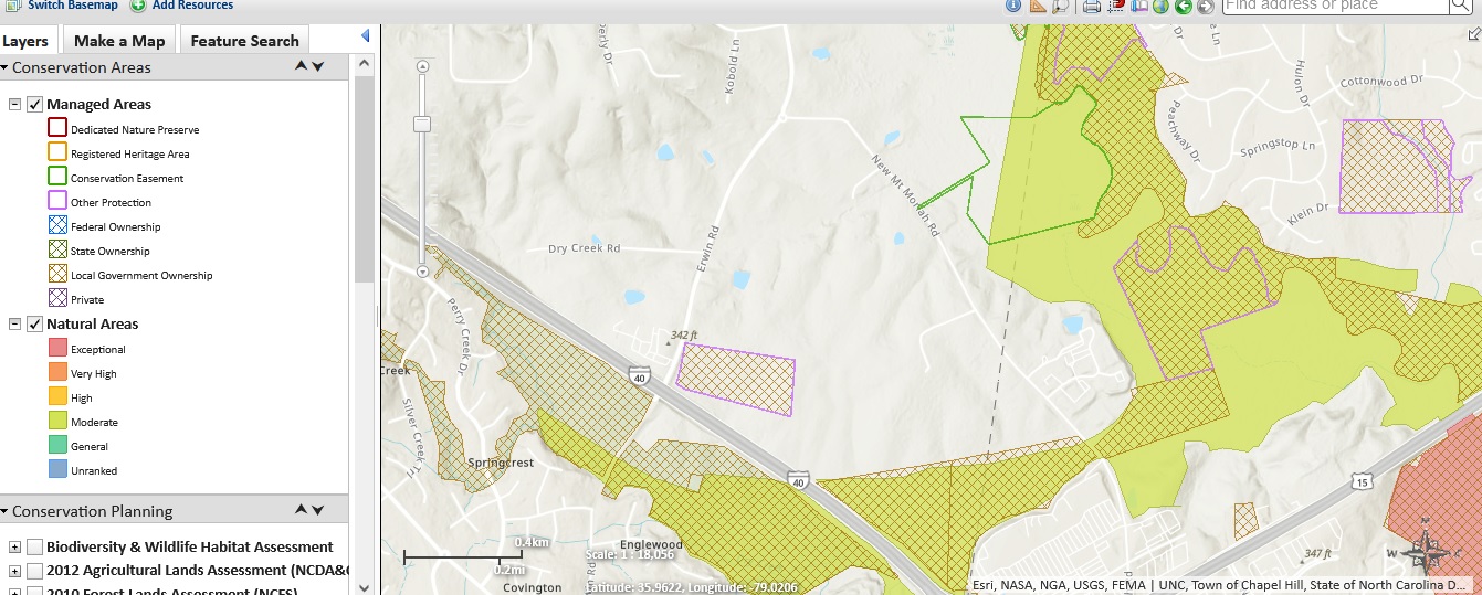
NCNHP
Note the large conservation area is north and adjacent to the proposed development.
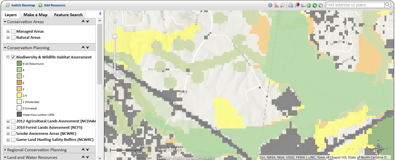
NCNHP Biodiversity
It appears that the line light green between Mt. Moriah and Erwin is above the proposed development.
Developments in Area
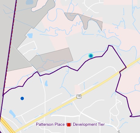
Flood Zones (stripe is flooway)
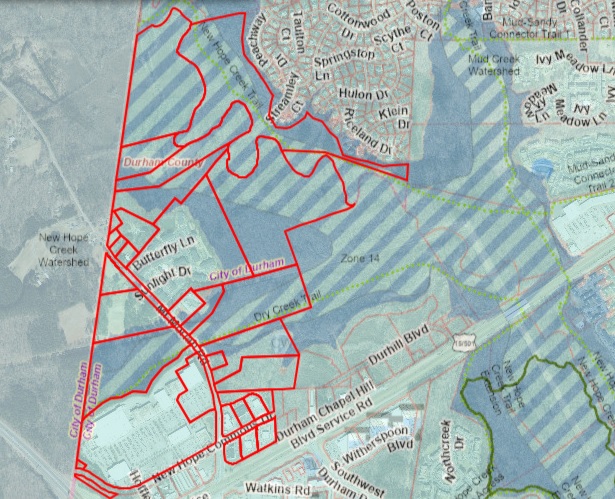
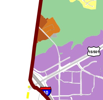
Place Type Map (from Comprehensive Plan) light brown is apartment/townhouse, dark brown is mixed use residential
Old Developer's Map
Go to main page for CARE for Durham